


 Category Index


Point Coordinate Extraction in AutoCAD (Takeo.lsp)
Point Coordinate Extraction in AutoCAD
admin - 23.05.2026 08:57
admin - 23.05.2026 08:57
Point Coordinate Extraction in AutoCAD (Takeo.lsp)
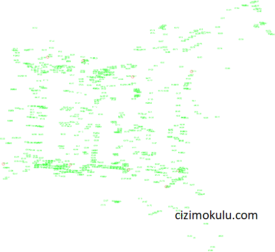
An AutoLISP function for extracting and reporting point coordinates in AutoCAD.
Takeo.lsp generates a point schedule / coordinate report from selected objects and outputs the coordinate information in a structured format.
Typical capabilities include:
Extracting point coordinates from selected geometry
Numbering points sequentially
Listing X, Y (and optionally Z) coordinates
Creating a coordinate table (point schedule) inside the drawing
Supporting export and documentation workflows for surveying and drafting tasks
Producing coordinate values according to the active UCS settings
This utility is commonly used for preparing coordinate tables, stakeout drawings, survey documentation, and polygon point reports directly within AutoCAD.
Hello everyone,
There is a frequently asked question here, especially among colleagues working in surveying: Point Coordinate Extraction in AutoCAD. I wanted to share a program I originally wrote back in the 1980s as a reference example.
At the time this AutoLISP program was developed, Total Stations had not yet become widely used. Typically, one person would hold the surveying staff, another would observe through the tacheometer and verbally read the optical measurements, while a third person recorded the readings manually on paper. Later, all these points would be transferred individually onto the drafting table.
In the sample data file, the first records contain information about the control polygons, whose coordinates and elevations were established by transferring measurements from a reference benchmark point.
The subsequent data lines contain:
Occupied Point (station point)
Observed Point
Horizontal Angle (in grads)
Distance (meters)
Elevation / Height values
As long as the occupied point (the point where the instrument is set up) does not change, it is not repeated in subsequent data lines.
At the time this program was written, computer processors were significantly slower than today’s systems. It was actually possible to watch an animation on screen showing the tripod, tacheometer, and a beam projected toward the measured point. Modern processors and independent graphics buffering make such animations too fast to follow visually.
Before sharing the program, I also replaced the operations originally implemented using (command "...") with (entmake ...) calls.
To allow others to edit, adapt, and reuse the solution, I am sharing both the open-source AutoLISP code and a sample data file.
Since some users may have difficulties copying the files directly and creating them manually, I uploaded both files to the server and provided download links.
By default, the program assumes the data file extension to be .dat.
Links are hidden. Register or Login
Author: cizimokulu.com
Description: AutoLISP Function to Point Coordinate Extraction in AutoCAD
Tag:
Comments :
No comment yet